Biodiversity Net Gain - BNG
Biodiversity Net Gain (BNG) is a statutory requirement for most planning applications within England. There are exemptions, and we have a specific website that provides in-depth information on BNG and how it might apply to your planning proposals: www.biodiversitynetgain(BNG).co.uk.
Biodiversity Net Gain (BNG) was trialled in Cornwall, so we have been familiar with it since February 2020. Considerably longer than most ecological consultancies in the Country. Consequently, we have a secure understanding of the ins and outs of applying BNG within the planning process. Our knowledge will help ensure that not only are the baseline assessments accurate, but that onsite BNG can be maximised in a sustainable, practical and realistic manner.
Several staff were embedded within Mid-Devon Council for six months to help them prepare for and commence fulfilling their BNG statutory requirements. This role is now provided by Devon County Council, which has expanded its ecological support to offer both ecological and BNG advice to most of the District Councils in Devon.
Be aware!
A plethora of ‘BNG’ companies has sprung into existence since 2024. Most claiming expertise in the BNG planning process, from site assessments, through to providing off-site BNG Units. Most claim they can provide the service using a combination of AI and Google aerial imagery. We have even read reports which accredit the author as being a ‘BNG Scientist’!
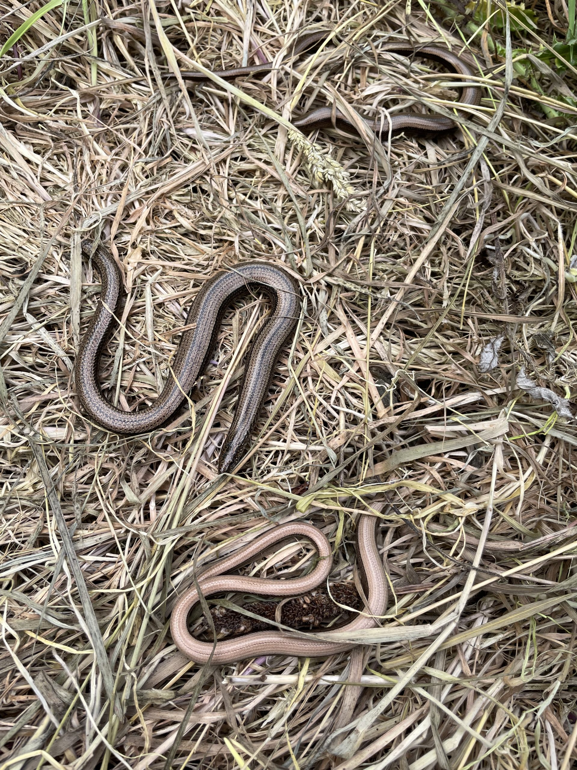
The efficacy of such claims by BNG “Scientists” is arguable, as your Local Planning Authority will attest… It is implausible that anyone (scientist or not) could extract accurate and detailed data from an aerial image of site’s associated flora, fauna, and fungi, which would provide a compliant botany and protected species baseline assessment.
For example, grasslands have several characteristics which must be considered in arriving at a habitat ‘value’.
- Species present (indicate habitat type and soil conditions)
- How many species per square metre (indicates habitat quality)
- Height of sward (indicates potential for other species to be present)
- Management regimes
Similarly, hedgerows are assessed on the number of species present, height and width, understory species, hedgebanks, etc. Can you realistically assess a hedgerow with a photograph taken 250–300 miles above the earth?
Don’t risk your planning proposal –
Consult a qualified and experienced ecologist. If not us, then another professional consultancy.
admin@ecological-surveys-ltd.co.uk
Please call us on 0800 888 6846 / 07736 458609
Be the change you wish to see